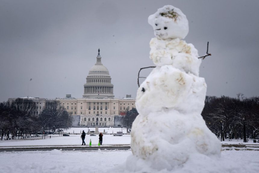
A significant winter storm is poised to grip a large swathe of the United States, bringing heavy snow, ice, and potentially record-low temperatures to millions. Starting late Saturday in the Central Plains, the storm is forecast to sweep across the Ohio and Tennessee Valleys on Sunday before reaching the Mid-Atlantic states by Sunday night. Approximately 50 million people are currently under winter weather warnings, bracing for hazardous travel conditions and disruptions to daily life. The National Weather Service (NWS) warns of an “Arctic outbreak,” indicating the severity and prolonged nature of the cold temperatures expected to accompany the precipitation.
The storm’s impact will vary across affected regions. Areas from central Kansas to Indiana face a high probability of receiving at least eight inches of snow, with some locations potentially experiencing their heaviest snowfall in a decade. The combination of heavy snowfall and strong winds, gusting up to 35 mph, is expected to create blizzard-like conditions and significantly reduce visibility in the Central Plains on Sunday morning. Further south, a significant icing event is anticipated, with sleet and freezing rain stretching from eastern Kansas and the Ozarks across to the Ohio Valley. This ice accumulation poses a serious threat to power lines and infrastructure, potentially causing widespread outages and disruptions.
The regions most likely to experience substantial snowfall, exceeding eight inches, include a broad band stretching from southern Nebraska through Kansas, Iowa, Missouri, Illinois, Indiana, and into portions of Ohio, West Virginia, Virginia, Maryland, Delaware, Pennsylvania, and Washington D.C. The threat of significant ice accumulation, exceeding a quarter of an inch, is most pronounced in southeastern Kansas, southern Missouri, southern Illinois, much of Kentucky, northeastern Tennessee, southwestern Virginia, and southern West Virginia. This ice accumulation can cripple transportation networks, down power lines, and create extremely hazardous driving conditions.
Travel is expected to be severely impacted by the storm. The NWS has issued strong warnings about the dangers of travel, particularly in areas experiencing heavy snow and significant icing. Driving conditions are expected to be treacherous, and travel of all kinds is discouraged. While the specific impact on air travel remains uncertain, the Federal Aviation Administration (FAA) is closely monitoring the situation and will provide updates on potential flight disruptions. Travelers are advised to check the FAA’s website and their airline’s website for the latest information and to consider postponing non-essential travel.
The impending storm has the potential to bring not only heavy precipitation but also record-breaking low temperatures. Meteorological experts suggest that the arctic air accompanying the storm could make this January the coldest since 2011. This prolonged period of frigid temperatures, combined with the snow and ice, will significantly increase the risk of hypothermia and other cold-related health issues. Residents in affected areas are urged to take precautions to stay warm and safe, including stocking up on essential supplies, ensuring adequate heating, and checking on vulnerable neighbors and family members.
This winter storm follows a fall season characterized by unusually warm temperatures. The fall of 2024 was the warmest on record in the United States, with average temperatures significantly exceeding the historical average. While the NOAA’s winter outlook had predicted warmer-than-average temperatures for parts of the South and East, it also anticipated wetter conditions for the northern half of the country and drier conditions for the Southwest and Southeast. This storm system, with its potential for significant snow and ice accumulation, underscores the variability of winter weather and the importance of preparedness. The contrasting conditions between the unusually warm fall and the current winter storm highlight the dynamic nature of weather patterns and the potential for rapid shifts in temperature and precipitation.


