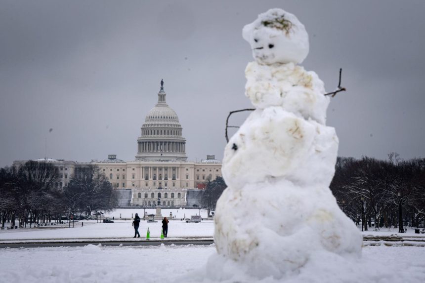
The first major winter storm of 2025 is brewing, poised to deliver a significant wintry punch across a wide swathe of the United States. While winter storms are a regular occurrence, this particular system warrants attention due to its anticipated intensity and broad impact, spanning from the Great Plains to the Mid-Atlantic. Originating over Missouri and Kansas, the storm is projected to track eastward, engulfing the Ohio Valley before reaching the Washington D.C. area by early Monday.
This multifaceted storm presents a variety of hazards. Blizzard conditions, characterized by heavy snowfall rates and powerful winds exceeding 40 mph, are expected to create dangerous whiteout conditions across the Great Plains. The Winter Storm Severity Index, a crucial tool for assessing potential impact, indicates major disruptions across the Great Plains, escalating to extreme impacts within the Ohio Valley. Blizzards, defined by sustained periods of heavy snow or blowing snow with winds surpassing 35 mph and visibility reduced to less than a quarter-mile, pose significant risks to travel and daily life.
The storm’s development involves a complex interplay of atmospheric dynamics. A low-pressure system is expected to intensify over the central U.S., drawing moisture from the Gulf of Mexico and interacting with cold Arctic air. As this low tracks eastward, a transition from mixed precipitation to all snow is anticipated across Kansas and southern Nebraska as northerly winds intensify. This setup favors substantial snowfall accumulations, potentially exceeding 15 inches in some localized areas, marking the heaviest snowfall in a decade for certain regions.
Beyond the headline-grabbing snowfall totals, this storm presents a diverse array of precipitation types and associated hazards. Sleet and freezing rain are also anticipated, adding to the complexity of the forecast and the potential for travel disruptions. The combination of heavy snow, freezing rain, and strong winds creates a high-impact scenario, particularly for vulnerable populations and infrastructure. Furthermore, as the cold front associated with this storm pushes into the Mississippi Valley, severe thunderstorms are possible, further highlighting the storm’s multifaceted nature.
On the warmer side of the storm, the potential for severe thunderstorms adds another layer of complexity. The Storm Prediction Center has issued an Enhanced Risk for portions of Mississippi and Louisiana, indicating a significant threat of damaging winds, hail, and even tornadoes. This dynamic weather system underscores the wide range of impacts that a single storm can produce, impacting regions differently depending on their location relative to the storm’s center.
The Washington D.C. area is projected to receive a significant snowfall, with accumulations ranging from five to ten inches. The bulk of the snow is expected to fall early Monday morning, but lingering snow showers are possible as the upper-level portion of the storm system passes through. A phenomenon known as “back side” snowfall can occur as wrap-around moisture and instability persist even after the main low-pressure center has moved eastward. The specific precipitation type at any given location depends on the temperature profile of the atmosphere. Snow forms in consistently below-freezing temperatures, while freezing rain indicates a warm layer aloft followed by a shallow layer of freezing air near the surface. This particular storm is complex enough to potentially produce all four major precipitation types – snow, sleet, freezing rain, and rain – across its vast extent. Due to the storm’s specific structure, the heaviest swathe of wintry precipitation is expected to be relatively narrow. While Washington D.C. and potentially Richmond are forecast to receive significant snowfall, cities further north and east, such as Philadelphia and New York, may see less accumulation. However, the eastern U.S. will remain entrenched in a cold pattern for the following week, increasing the likelihood of further wintry weather events. While social media can be a source of information, it’s important to be discerning and rely on credible sources for weather forecasts, avoiding sensationalized or unsubstantiated predictions.


